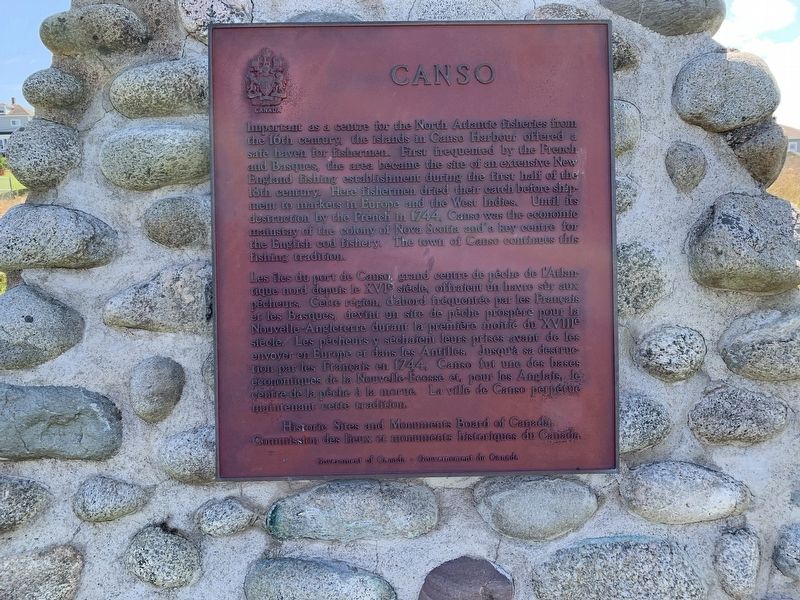
Important as a centre for the North Atlantic fisheries from
the 16th century, the islands in Canso Harbour offered a
safe haven for fishermen. First frequented by the French
and Basques, the area became the site of an extensive . . . — — Map (db m138598) HM
To the Glory of God and in loving memory of those who made the supreme sacrifice in the World War
Canso
Louis Dort, Vernon Earle,
Roy Greencorn, Lee Martin Hart,
Arthur S. Horton, James B. Keating,
Percy J. Lumsden, James Arthur Manuel, . . . — — Map (db m140441) WM
Only a century ago the spars of many schooners filled this harbour. Vessels from Lunenburg and the "Boston States" entered to take on bait, ice and water before sailing to the banks offshore.
Canso shipyards constructed smaller coastal . . . — — Map (db m140521) HM
On July 13, 2006
a Canadian Forces helicopter
from 413 Transport
and Rescue Squadron
carrying seven crew members
who were exercising rescue
techniques with local
Canadian Coast Guard
auxiliary members
crashed in Canso Harbour. . . . — — Map (db m139669) HM
During the seventeenth century French fishermen came from Cape Breton, across Chedabucto Bay, to fish for cod in thirty foot shallops. Later, the New England colonists came in their schooners. They fished the Banks and dried their fish . . . — — Map (db m140536) HM
On
May 23, 1881, the steamer Faraday landed a transatlantic telegraph cable at Dover Bay. The cable allowed the news of Europe to flash underneath the ocean for 2,531 nautical miles.
The European news arrived in Canso and Hazel Hill . . . — — Map (db m140501) HM
This is a place where seafaring people found shelter from the
harshness of the Northwest Atlantic. It is the most easterly point of mainland Nova Scotia, remote
and exposed upon Chedabucto peninsula, yet close to the fishing banks so . . . — — Map (db m140505) HM
Fishermen sailed to this coast before the earliest explorers. In the early 1600s French and Basque fishermen dropped handlines in the waters.
By 1725 New Englanders were pulling in cod worth 150,000 pounds (New England currency) . . . — — Map (db m140554) HM